Building London loves an old wall with re-used bricks and stones! 😀
See https://buildinglondon.blog/2021/08/19/10-mile-end-lock-wall/
And there are many old buildings in London, particularly mediaeval churches, that have re-used Roman bricks/tiles and various old stones from older buildings. The mediaeval parts of London Wall are a great example and see see photo here of a re-used stone on Guildhall. https://buildinglondon.blog/2022/04/01/36-the-simply-gorgeous-guildhall-crypts/
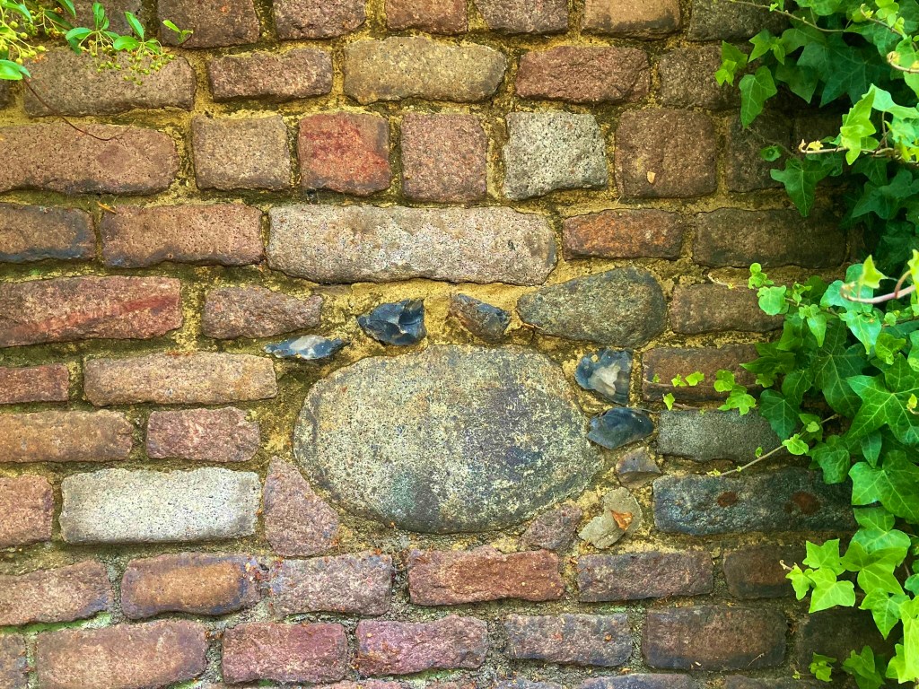
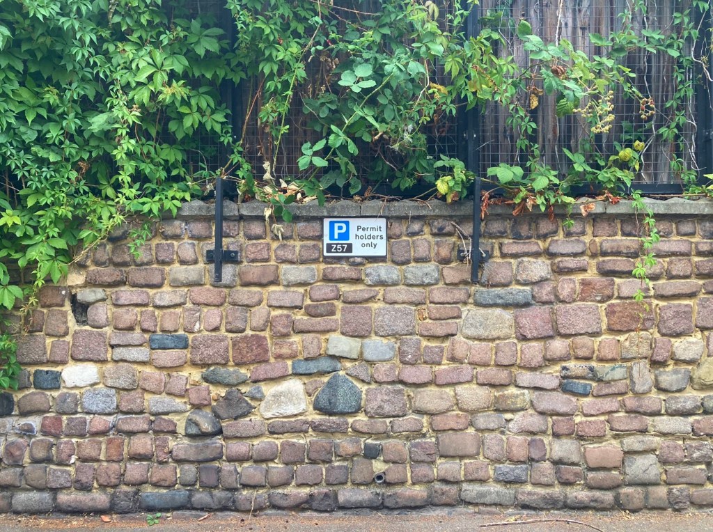
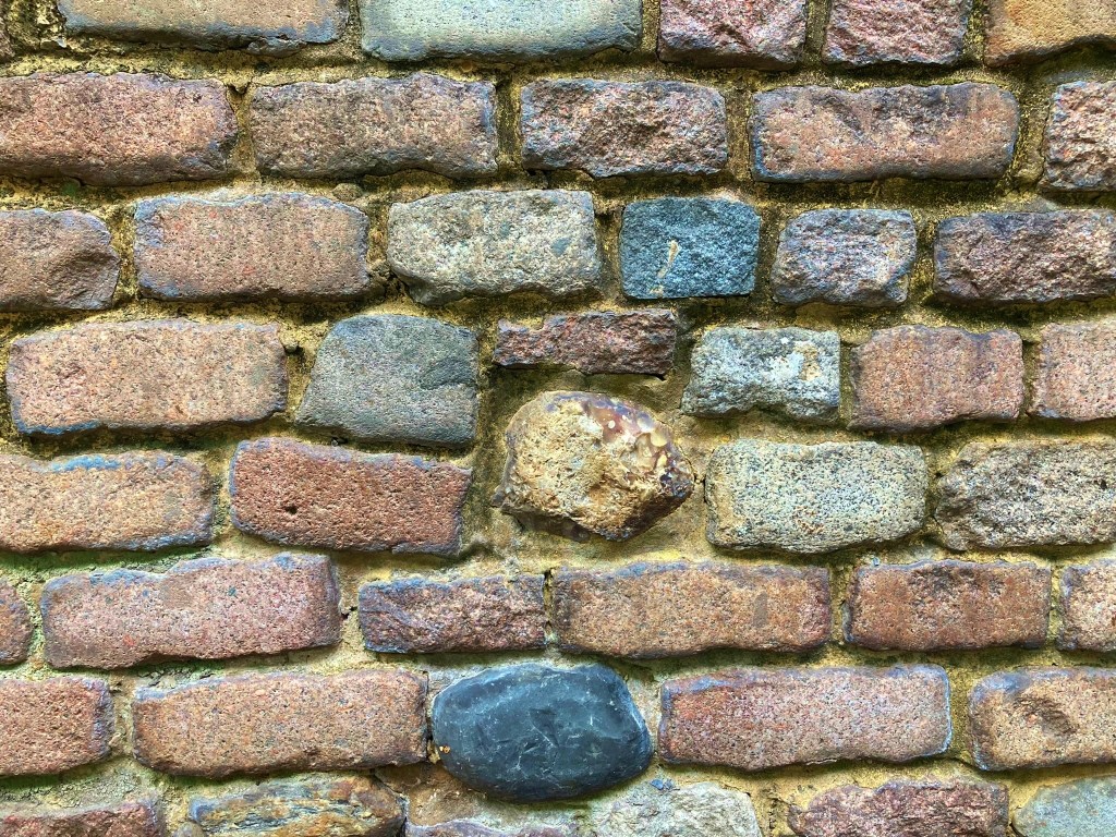
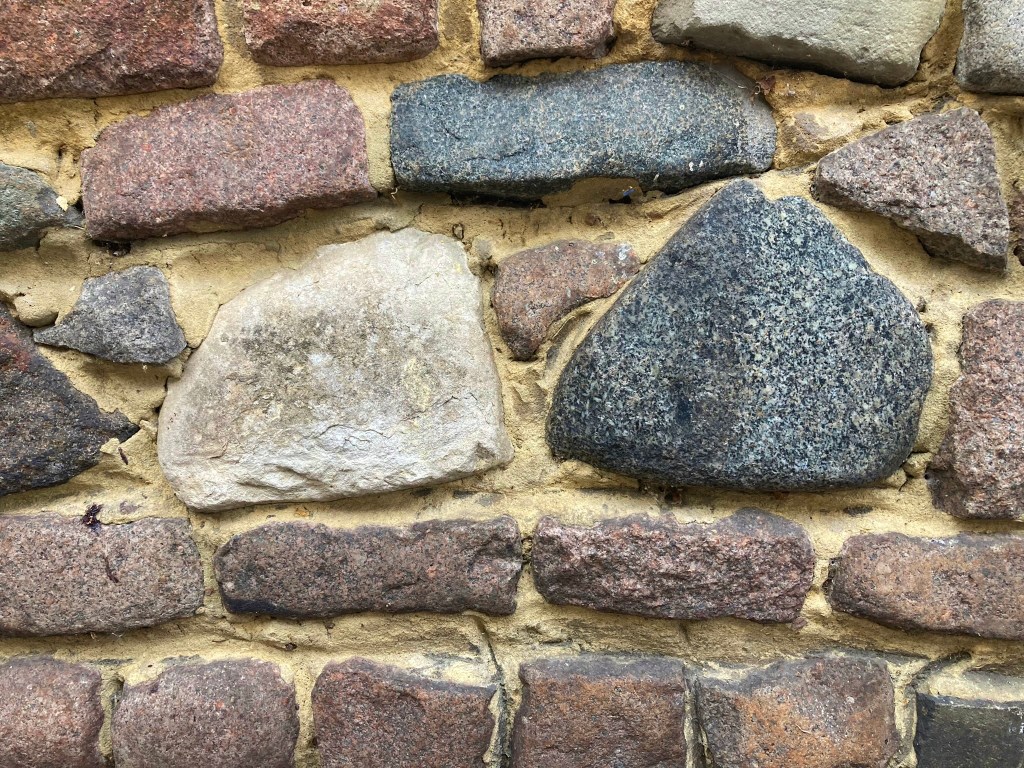
And the re-using of granite road setts for walls in 1960s re-developments is also not that un-usual but what’s exciting about this wall in Anderson Road on the Wyke Estate in Homerton in the London Borough of Hackney is that not only are the setts large and irregular, showing their age, – setts generally got smaller and neater and squarer as the 19thC progressed – see https://buildinglondon.blog/2021/12/30/22-granite-setts-at-the-middlesex-and-essex-filter-beds/ – this wall contains several boulders that are much less usual to see! In fact the use of boulders was key to the suggestion that Upper Watergate Street in Deptford is the oldest road surface in London. See https://buildinglondon.blog/2021/12/12/21-upper-watergate-street-the-oldest-street-surface-in-london/


Where are they from though? It would make sense that these were setts and boulders that paved the streets that were laid out to the south of the railway that opened in 1847.


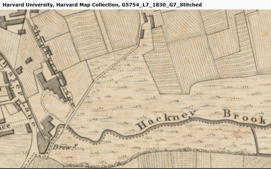
The area was mainly fields and some large houses before that but close by was the historic Berger paint works that opened in 1780. The streets I believe we laid out in the 1850s – they are on a map surveyed in 1863.

But I wonder whether these setts and boulders were from an older courtyard at the Berger Factory instead? A History of the County of Middlesex: Volume 10, Hackney states the factory opened in 1780 and closed in 1960 so possibly at the same time as the Wyke Estate was being built. [1] [2] [3]
Wick Road follows roughly the line of the Hackney Brook, and to this day a sewer carrying the Hackney Brook flows beneath it’s length .. you clearly walk down Anderson St into the river valley. The bottom of Anderson St and where this wall is situated would almost have been on the banks of the Hackney Brook and indeed acts a a retaining wall for the gardens in the street above.

Re-use: CC-BY-NC-SA. https://maps.nls.uk/view/102342014
Harvard University, Harvard Map Collection, G5754_L7_1830_G7_Stitched
LICENSE: https://nrs.harvard.edu/urn-3:HUL.eother:idscopyright
ATTRIBUTION: Provided by Harvard University
References
[1] https://www.british-history.ac.uk/vch/middx/vol10/pp51-59
[2] http://www.bjn-paint-reunion.co.uk/lewis%20berger.htm
[3] https://www.layersoflondon.org/map/records/bergers-paints-morning-lane

Leave a comment